|
 |
|
Founded
in 2006 EA Maps is a professional
geospatial
consulting
firm. Our
professional and technical staff members average more than 20 years of
experience, and we continue to invest in the latest mapping
technology.
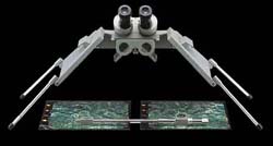
Our services include aerial photography, aerial triangulation,
photogrammetry, digital orthophotography and Geographic Information
Systems (GIS).
We
are dedicated to providing
the highest quality service,
finding the most economical approach,
listening to our clients and
creating superior aerial mapping products.
|


